Do not plan by straight-line distance
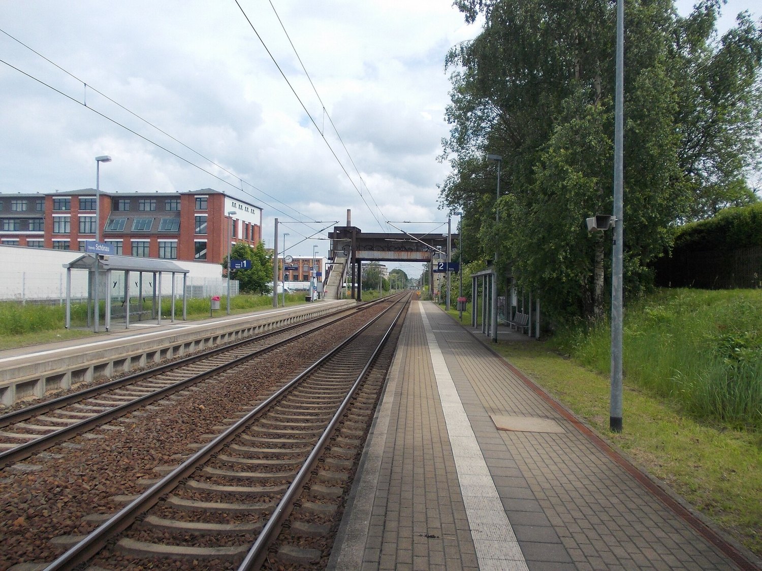
Schönau lies in western Chemnitz. For a walk here, distinguish proximity on a map from a usable pedestrian connection. Railway lines and larger roads influence where you can cross. A destination visible beyond the tracks may not be directly accessible from your position.
Choose a starting point and a short sequence of actual streets. The railway-stop area can help with orientation, but it is not automatically the most comfortable place to spend a long time. Pick a route that crosses transport corridors at designated points and then leads into a manageable section of the district.
Notice the different scales
The city's account of western Chemnitz describes Schönau through industrial sites and varied residential development. Use that as a way of looking. Compare the length of a commercial building with a house, a vehicle entrance with a domestic doorway, and the distance each building stands from the road.
The purpose is not to discover a conventional attraction on every corner. A district can become understandable through the relationship between work, transport and housing. For a particular company's history or a construction date, you will need an additional source. A building's shape does not reliably reveal what is produced or offered inside today.
Keep the first circuit limited
A modest route is enough for an initial impression. If you want to combine Schönau with Siegmar, treat the link as a deliberate extension. Check pavements and consider whether travelling between two shorter sections would be more comfortable. Walking a long main road simply because both district names appear on the same map is rarely a useful aim in itself.
Respect access roads to businesses and the privacy of homes. Photographs can be made from public pavements; an open factory gate is not an invitation to explore. At busy points, choosing a safe place to stand matters more than obtaining a completely unobstructed image.
For the return, check transport from the actual endpoint rather than from a general district search. Use current information and a precise stop name. This keeps the outing coherent and easy to shorten. If you want a quiet green space afterwards, choose one separately instead of assuming that any line following a stream on the map represents a continuous public footpath.