Follow one section of water
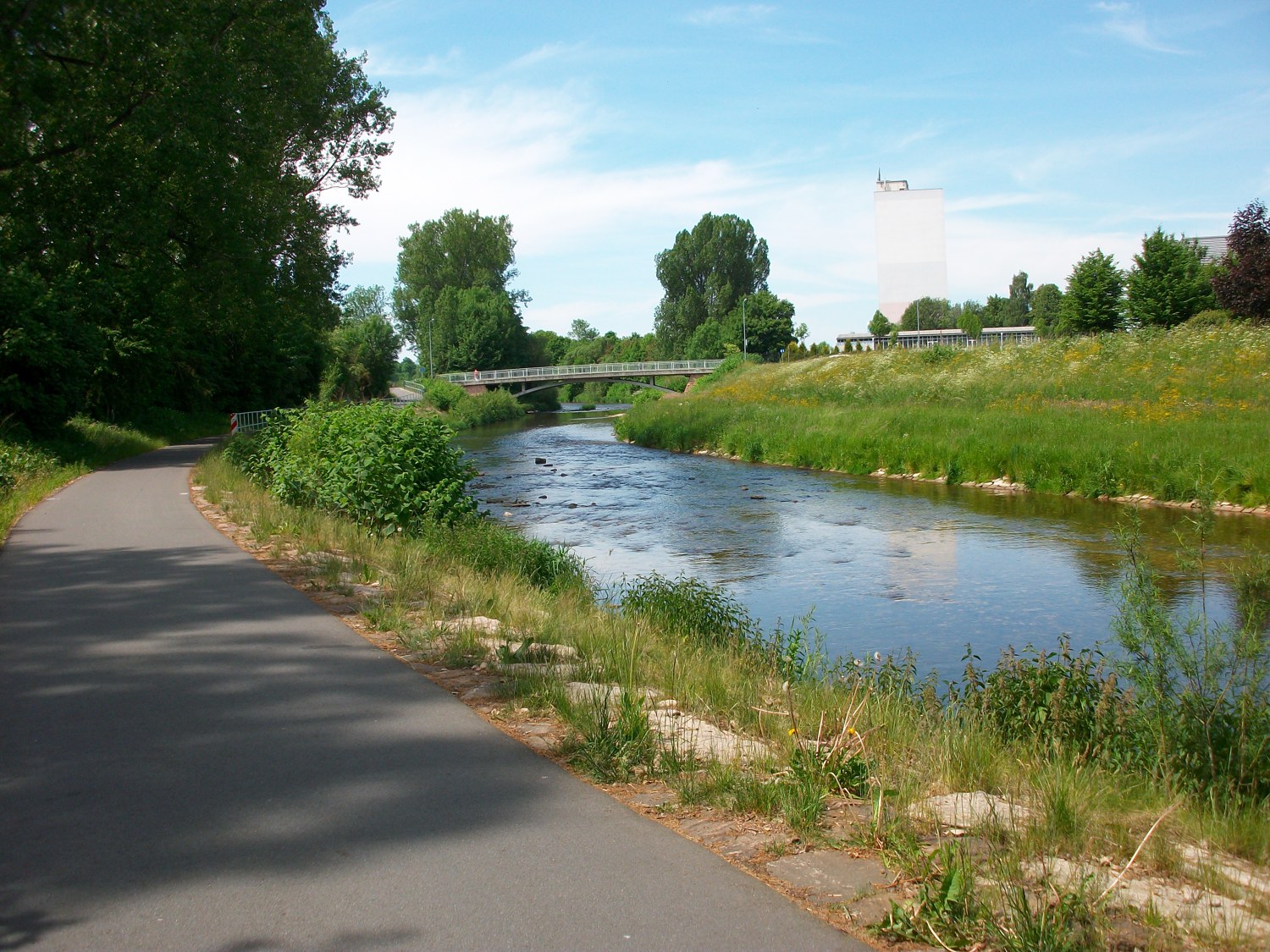
The Chemnitz gives the city its name and can also give a walk a clear shape. Choose a particular section. The setting changes between built-up areas, parkland and more open banks, and those transitions are worth noticing without following the entire river.
On a map, establish where public paths actually run beside the water and where a road or bridge interrupts the connection. A blue line with open ground next to it does not necessarily indicate a walkable bank. Choose the start and finish from existing paths, especially if the return will involve a public transport stop.
Read the city from the bank
Bridges, former commercial buildings and newly arranged open spaces show different relationships with water. In one place the river forms part of a park; elsewhere roads or buildings accompany it. Ask which side offers access and where the water can only be seen at a distance. This creates an understanding of the city's layout that a list of attractions alone cannot provide.
In the southern Stadtpark, the former Altchemnitz river bathing area illustrates the changing use of a bank. The city describes a new public green space and pedestrian bridge there as part of Stadt am Fluss. A place like this can be the destination, without the rest of the river needing to be completed on the same day.
Use bridges as viewpoints
A bridge changes the perspective. Instead of looking along one bank, you can see the width of the river and both sides together. Stop only where others can pass. Shared crossings also require room for cyclists and other pedestrians. A short, deliberate photograph stop is better than backing slowly without watching the route behind you.
After heavy rain or when water is high, keep away from closed areas. Do not climb down a bank to get nearer the flow. On this outing, the river provides orientation rather than a bathing destination. When the selected section ends, the visit can end as well. A stretch observed carefully can explain more about Chemnitz than many kilometres covered merely to connect two points.